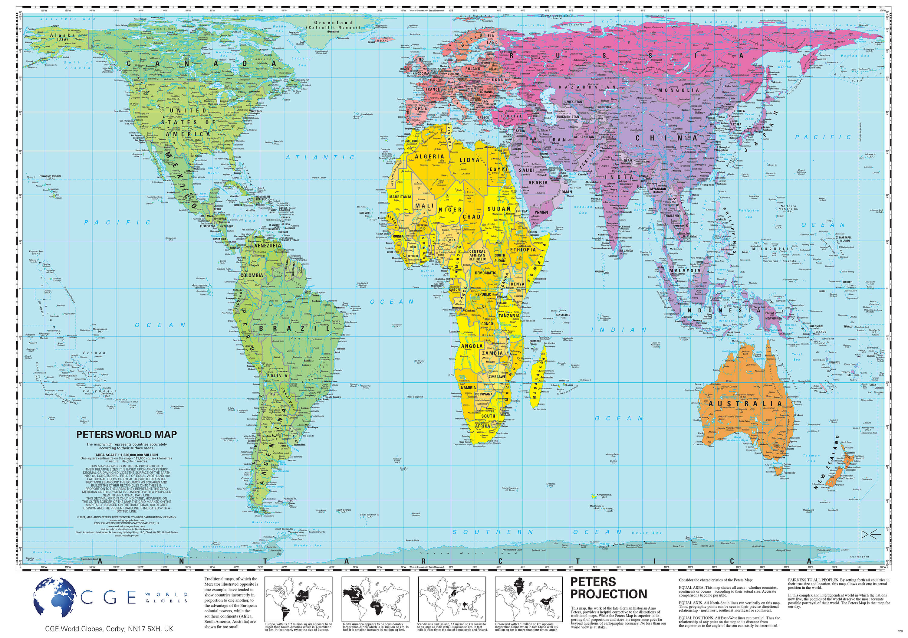
0 £0.00
products in your basketto quote Checkout
Ooops no items were found.
Try something else.
Ok
Loading…

The Peters Projection Map

Category Maps & Compasses
HE340983

The Peters Projection Map

Product Code: HE340983
Category Maps & Compasses

Description

This laminated map shows the world's land areas and oceans in their true proportions. Labelled with continents, countries, major cities, oceans and seas, this huge map is perfect for every classroom.

Area scale: 1 square centimetre: 123,000 square kilometres. Size: 590 x 840mm.

  • KS2 and upwards
  • Laminated and clearly labelled with detailed cartography
  • Scale 1:123,000
  • Dimensions: 590 x 840mm

Specifications

Made In

GB

UNSPSC Code

60103410

Weight

0.31kg

Height

55mm

Width

55mm

Length

760mm

Brand

Own Brand

Categories

Geography

Category

Maps & Compasses

From
£26.35 Pack of 1
/
- +
Compare

The Peters Projection Map

Category Maps & Compasses
HE340983

The Peters Projection Map

Product Code: HE340983
Category Maps & Compasses

Description

This laminated map shows the world's land areas and oceans in their true proportions. Labelled with continents, countries, major cities, oceans and seas, this huge map is perfect for every classroom.

Area scale: 1 square centimetre: 123,000 square kilometres. Size: 590 x 840mm.

  • KS2 and upwards
  • Laminated and clearly labelled with detailed cartography
  • Scale 1:123,000
  • Dimensions: 590 x 840mm

Specifications

Made In

GB

UNSPSC Code

60103410

Weight

0.31kg

Height

55mm

Width

55mm

Length

760mm

Brand

Own Brand

Categories

Geography

Category

Maps & Compasses

From
£26.35 Pack of 1
/
- +
Compare
SEARCH ×