
Description
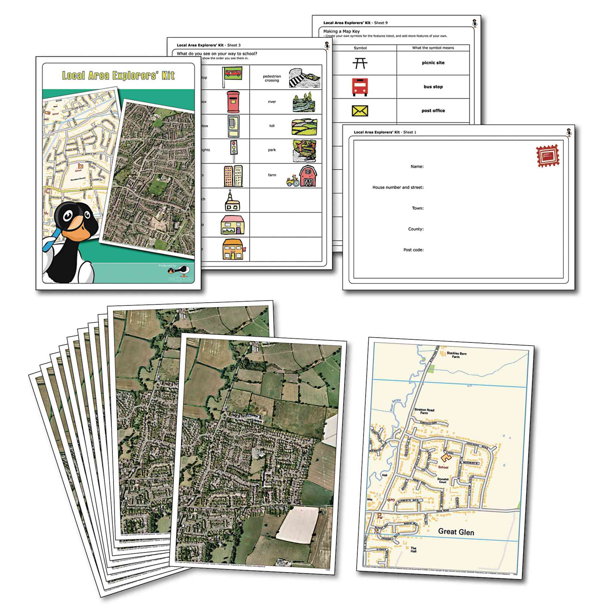
The Local Area Explorers Kit supports geography fieldwork by helping pupils investigate their immediate environment through real aerial photographs and maps. Ideal for developing map-reading and observational skills, this resource is tailored to your school's location, making local area studies engaging and relevant.
Includes 10 A4 aerial photographs and 1 A4 map centred on your school postcode (customisable within England, Wales, and most of Scotland)
Comes with worksheets and activity suggestions for classroom use
All materials are fully encapsulated for durability and easy cleaning
Suitable for ages 5 years and above
Designed for use in geography and locality studies
Please note - We are not able to create products including maps for Northern Ireland and Isle of Man
Specifications
GB
14 days
60103401.0
0.5kg
10mm
220mm
300mm
Own Brand
Fieldwork
Locality Studies