Description
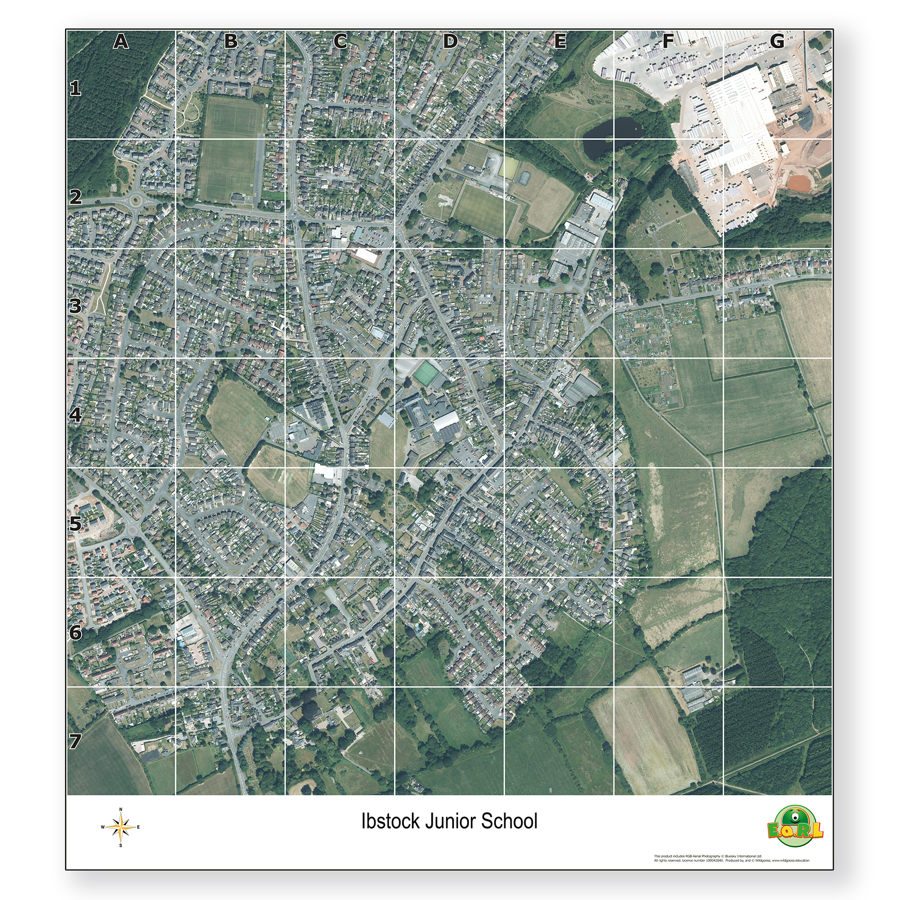
The EaRL Our School Aerial Playmat provides a unique, large-scale aerial view of your school and its surroundings, making geography lessons engaging and relevant for pupils. Designed to support the curriculum, it helps develop map reading, spatial awareness, and local area knowledge in a hands-on way.
Whether laid out on the floor, spread across desks, or mounted on the wall, this versatile map is an excellent resource for teaching children about their local environment. It also supports key geography skills, including map reading, directional and geographical vocabulary, coordinates, and grid reference understanding.
Features a 1:10,000 scale aerial image centred on your school
Printed on durable vinyl for repeated classroom or outdoor use
Includes grid lines, grid references, and compass points to support key geography skills
Reinforced eyelets for easy hanging or display
Measures 115cm x 105cm
Specifications
GB
14 days
60103408.0
750kg
70mm
70mm
1100mm
Own Brand
Geography
Fieldwork