Description
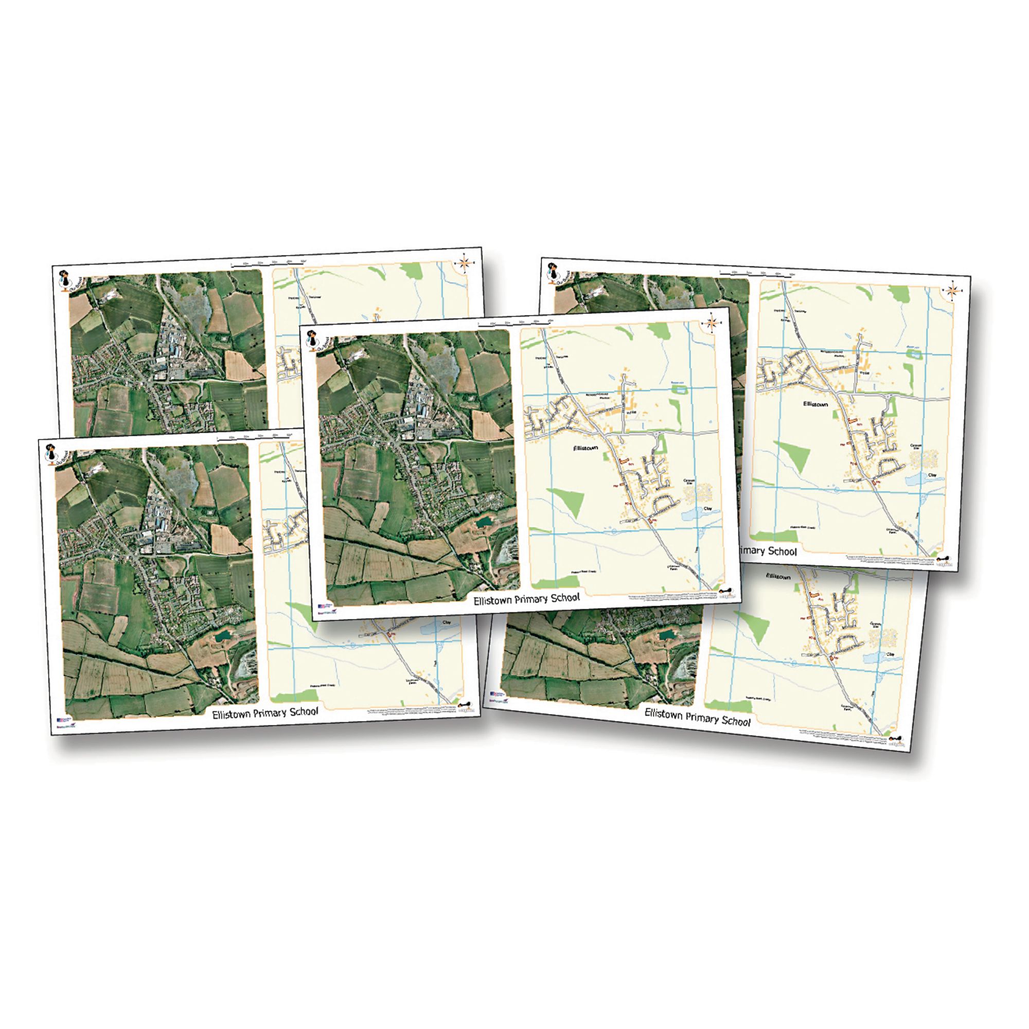
Support geography lessons and fieldwork with these custom desk mats, each featuring a recent aerial photograph and an Ordnance Survey map of your chosen area at the same scale. Ideal for helping pupils develop map-reading and locational skills in a familiar context, these mats are tailored to your school postcode or a specified location.
Pack of 5 A3 desk mats (420 x 297 mm)
Centred on your school or chosen area (England, Wales, most of Scotland only)
Shows 1.45 km west-east and 2 km north-south at approximately 1:7000 scale
Fully encapsulated for durability and easy cleaning
Suitable for Key Stage 1 & 2 (ages 5+)
Not available for Northern Ireland or Isle of Man
Specifications
Made In
GB
Lead Time
14 days
UNSPSC Code
60103408.0
Weight
250kg
Height
310mm
Width
10mm
Length
430mm
Brand
Own Brand
Categories
Fieldwork
Category
Locality Studies