
Description
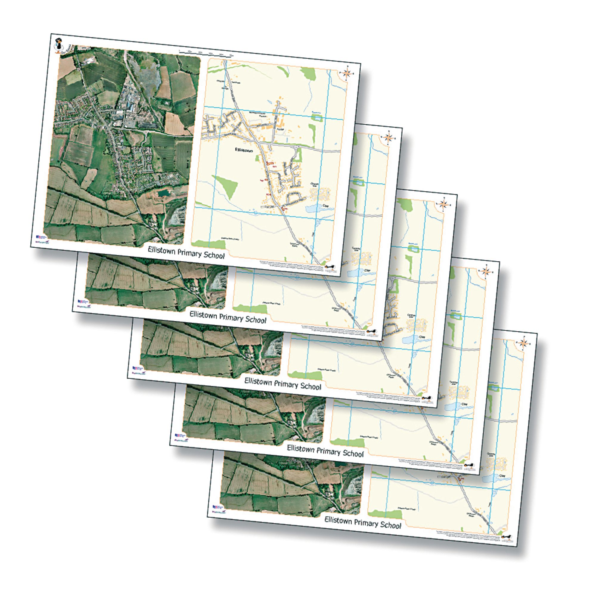
Support geography lessons and local area studies with these custom desk mats, each featuring a recent aerial photograph and a matching Ordnance Survey map centred on your chosen location. Ideal for developing map reading and fieldwork skills in primary and secondary classrooms.
Includes 15 fully encapsulated A3 desk mats (420 x 297 mm)
Each mat displays an aerial photo and Ordnance Survey map at approximately 1:7000 scale
Covers an area of 1.45 km (west–east) by 2 km (north–south)
Customised to your school postcode or specified area (England, Wales, most of Scotland only)
Suitable for ages 5+
Please note - We are not able to create products including maps for Northern Ireland and Isle of Man.
Specifications
GB
14 days
60103408.0
772kg
310mm
15mm
430mm
Own Brand
Fieldwork
Locality Studies